Our visit to Quartzite, AZ was short, but now I have an idea what it is all about, and I can imagine what it is like in January when all the snowbirds have migrated here for the winter.


Sheila was an excellent tour guide, negotiating all the various dirt paths. But when we reached this sign, we turned around. No one really wanted to encounter any nude sunbathers... We went out for dinner and had a nice visit instead.

After one night, Tina and I moved on to California's Joshua Tree National Park.


We pass the Cholla Cactus Garden. Thistle has already learned the hard way about the cholla thorns.

They must have some recent transplants here, because the rangers are watering the cactus.


This raven has a bird's eye view from atop a Joshua Tree.

More climbers.

A huge playground...


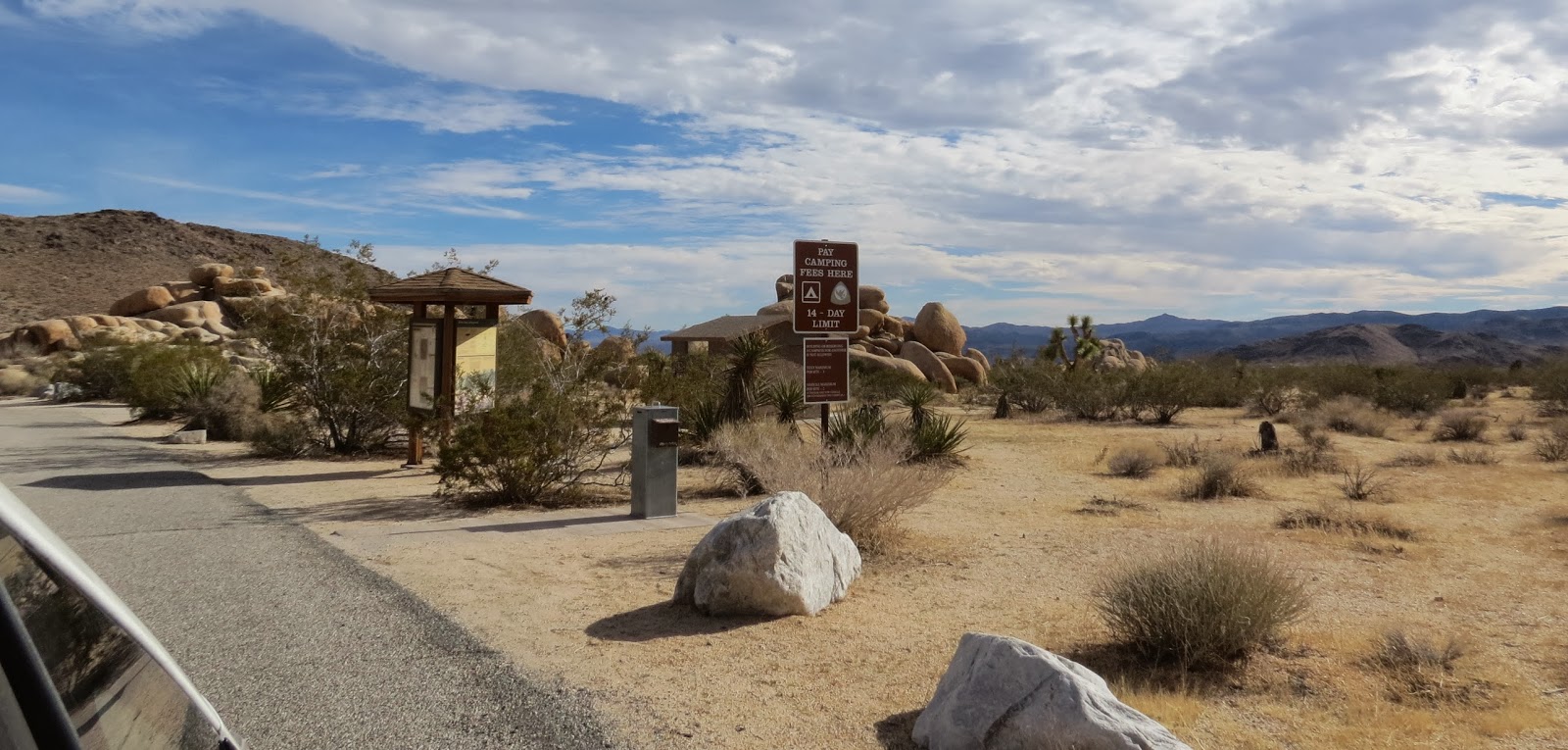
A group campground for tenters only.

Continuing on, we pass through a forest of Joshua Trees.

A trail leads to Hidden Valley, a legendary hideout of cattle rustlers. We passed that one by.

We took the road to Keys View, where from an elevation of 5,185 feet, we can overlook a stunning expanse of valley, mountain, and desert. That dark line in the valley is a section of the San Andreas Fault.

In this direction we can see the Salton Sea and across the border into Mexico.

Below on the right is the city of Palm Springs.

And in the distance, San Gorgonio Mountain, at 11,485 feet, is the tallest point in southern California.

There is a trail here where you can climb to an even higher viewpoint, but we thought we had a pretty good view already.

More rock shapes...

We stopped to take a hike to Barker Dam, originally built by ranchers to water their cattle.

Starting down the one-mile loop trail. Always bring water when hiking in the desert...even for a short hike.

Scenes from the trail...


The rain water that collects behind the dam attracts birds and other wildlife.

Contrasts...

In the background is the dam. Not much water here today, but if you look at the marks on the rocks, you can see how high it has been.

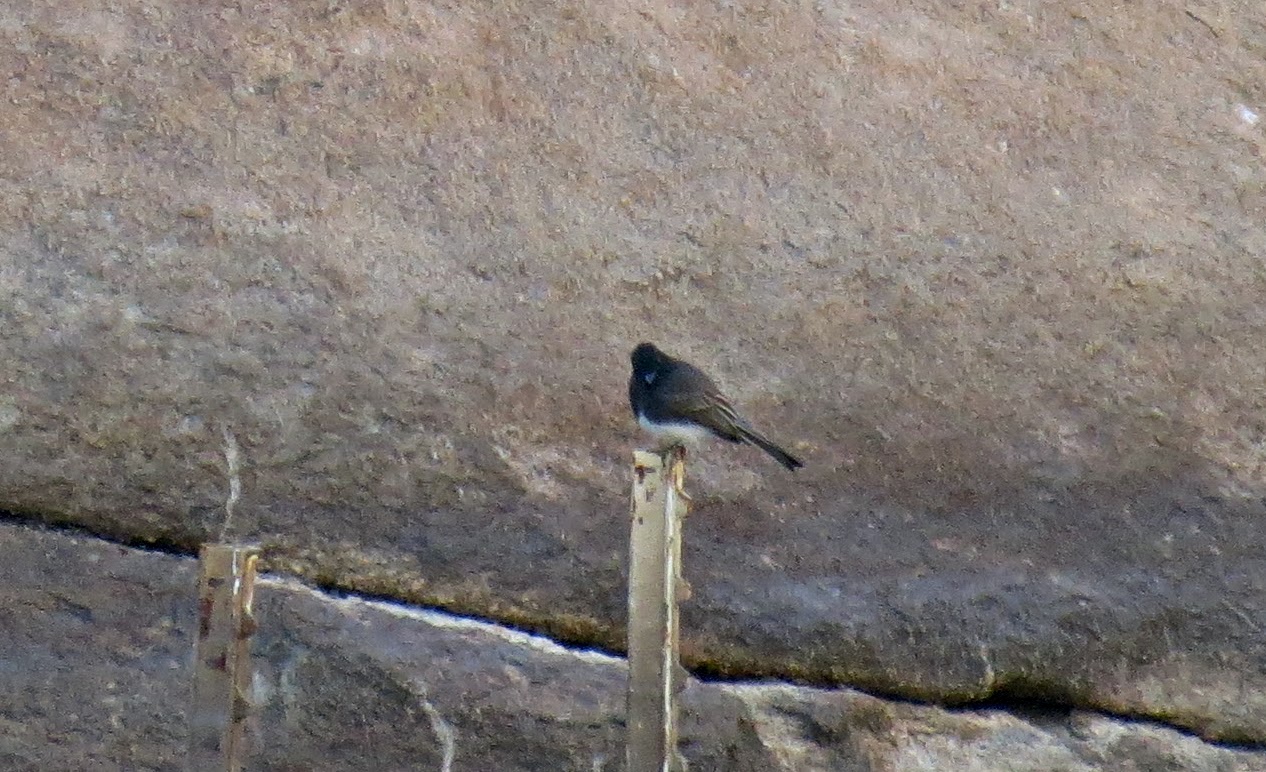
I only saw a couple of small birds.


The back side of the dam. The lower section of stone was the first dam, built in 1902. The Keys family added the upper concrete layer in 1949.

Below the dam is the cattle watering trough.

The cattle grazed on grasses in this natural basin below the dam.

Tina reads about the different plant life that exists here now.

This Pinon Tree was growing high in the rocks.

The return trail winds through Joshua Trees and other desert plants.

Indians that gravitated to the water left petroglyphs on the rocks.

Unfortunately someone painted over the originals, ruining their historical value.

Rocks where the petroglyphs were found.


Serious rock climbing takes place here too.

We went out of the park on the north side and drove through the town of 29 Palms before re-entering the park to return to the campground. I counted...there are more than 29 palms here.

A Sun Dog in the sky.

And back by the scenic vistas to our RVs. Joshua Tree National Park is worthy of another, longer visit.

But for now, we are on for our rendezvous at forum friend, Sharon's, where we will leave our cars during our trip to Baja. This will be my last post on this year's blog. Be looking for my new blog coming soon...Where's Liz? 2014.
My friends say 'if you lived in JTNP for a year, there would still be things you didn't get done'. Looks like you got touched by the I wannas. Great shots and narrative.
ReplyDeleteMagnificent views in every direction!
ReplyDelete